



Local news from across the Uintah Basin.
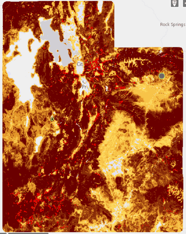
Forestry, Fire, and State Lands Announces New High-Risk Wildland Interface Map
The Utah Division of Forestry, Fire and State Lands unveiled the state’s new High-Risk Wildland Urban Interface map and it shows the Uintah Basin as a combination of Moderate, High, and Very High Risk of Wildfire. The map was a key component of House Bill 48 that was passed by the state legislature during the […]